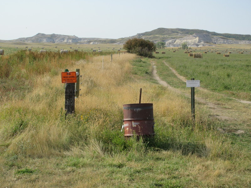
Warning! Highpointers have permission to cross the property on the right, but NOT the property on the left.
North Dakota Highpoint - White Butte - 3506 ft
7 Sep 2018, 10:18 am. Highpoint #47.
To get to the trailhead, I left I-94 and drove south on US-85 towards Amidon ND. About 6 miles before Amidon, US-85 makes a right turn. Four miles past this, and still 1.9 miles from Amidon, I turned left onto unpaved 140 Avenue SW. At this turnoff, there was a white house on the north side of US-85, and a green sign labeled White Butte. This turnoff from US-85 onto 140 Avenue SW is at: N46.48290 W103.27975. (All coordinates WGS84). After turning left on the gravel road, I drove south for 4.9 miles, passing the "Badlands Auto Body" buildings at about 1.9 miles. At the 4.9 mile point, I turned right onto another gravel road. This second turnoff, which was less obvious, was at: N46.41005 W103.27983. Then I drove 1.0 miles west, to an intersection where I parked, at: N46.41012 W103.30047. Looking towards White Butte from here, you look along a fence line. There is a red donation box next to the parking. It had no amount specified, I left $10, and started hiking about 9:30 am.
Beware of rattlesnakes! They are supposed to be very common here, but I did not see any. Watch for snake dens. I brought trekking poles, whose ground vibrations help warn the snakes, which can then stay away.

Warning! Highpointers have permission to cross the property on the right, but NOT the property on the left.
Be careful to take the correct path here, and hike to the right of this fence. This land is private property, and highpointers only have permission to cross the property on the right, NOT the property on the left. The landowner to the left does not want you on his property, and the fence (which is even electrified!) is marked with unfriendly No Trespassing signs. On the right, you should find tractor tracks and friendly Highpointer signs. As long as you walk to the right of this fence, on the tractor road, you are good. I have heard rumors of the landowner on the left trying to block access, though I did not see this myself, but hikers have permission no matter what the other landowner says.
I hiked south, following the tractor tire tracks, crossing the field and then passing an old farmhouse on the right. This was a nice, pleasant, very easy walk, with picturesque hay bales and purple flowers. In about a mile I reached a gate on the right, at: N46.39562 W103.30054, with a Highpointer Club sign on it. I passed through the gate, remembering to close it after me, and followed the trail to the left, into the badlands terrain, just before 10 am.
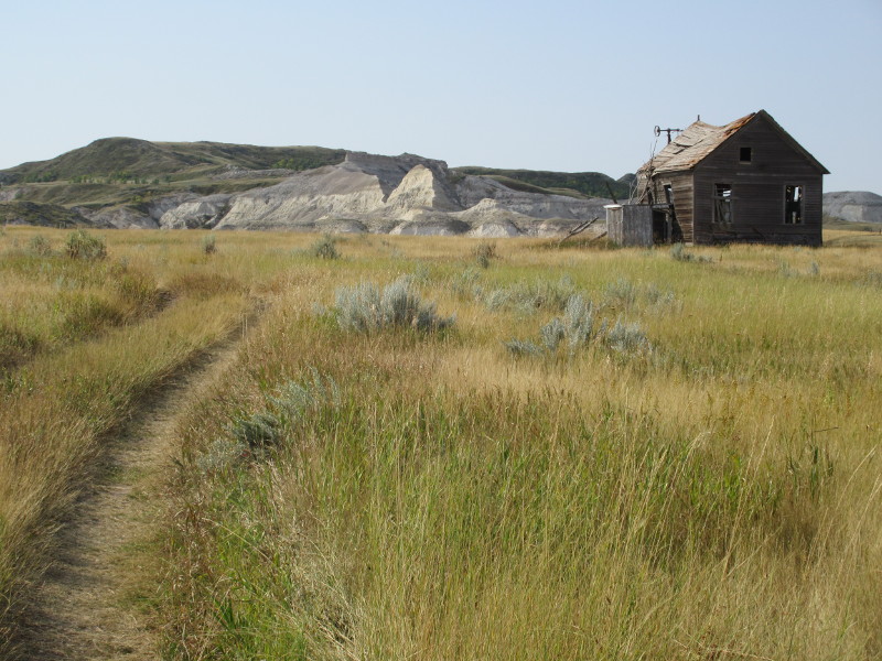
Old farmhouse.
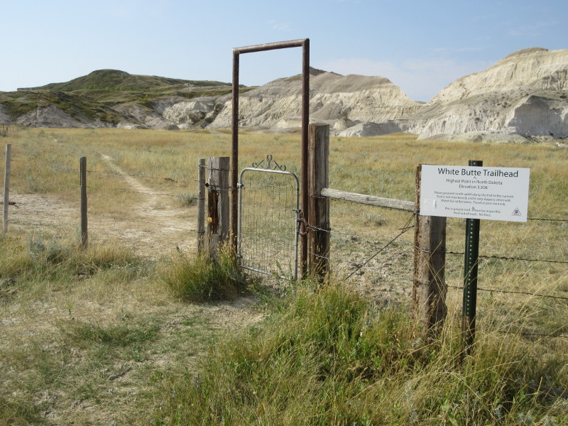
Gate at end of tractor road. Leave it closed after you pass.
In general, hikers should expect brush and mud. I had dry weather so all the mud was just dirt. It can be very formidable when wet, and note that brown soil is much less slippery than white. The trail was initially on the valley floor, but in a few minutes, the trail started climbing to the left up white dirt, at: N46.39250 W103.30134 (3187 ft). This was the steepest part of the hike, and when wet, the white mud is supposedly nearly impassable.
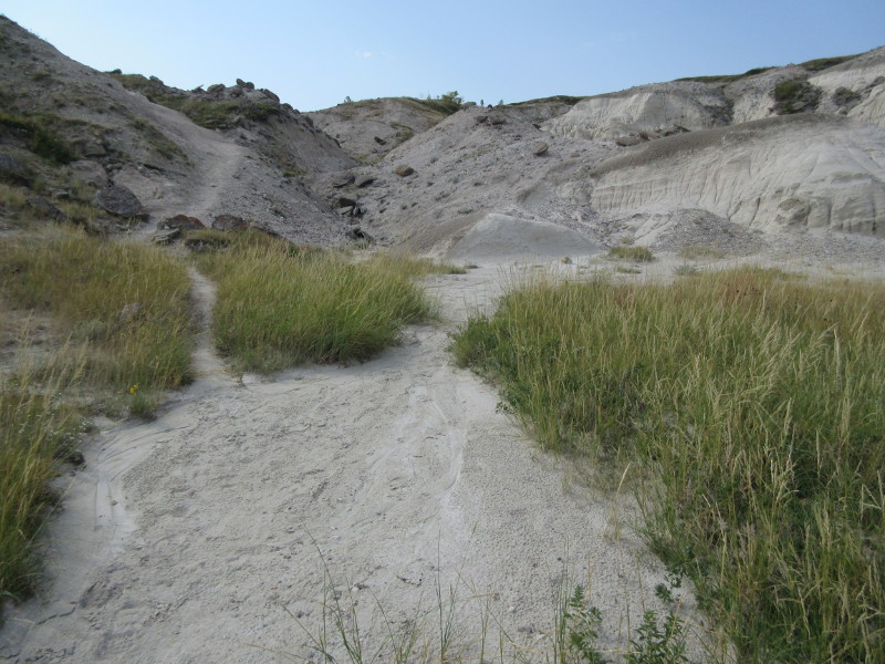
Crux hike up steep white mud to the left. Possibly almost impassable when wet.
I continued hiking up the trail, which passed over a fence at: N46.39112 W103.30108 (3263 ft), and eventually reached a grove of stunted trees at: N46.39025 W103.30169 (3327 ft). The trail became briefly faint at the grove, but it continued straight ahead, and soon became clear again. The trail continued across the grass field to the butte, and on to the summit, at: N46.38708 W103.30256.
I reached the summit just before 10:20 am, and enjoyed the views and a nice rest. There was a plank seat right at the highest point, and a short walk to the west gave some more nice views. Then I returned by the same route. The sunrises and sunsets are supposed to be magnificent here, but I did not time my hike to see any.
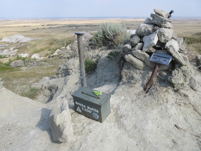
Small crocodile on the summit of White Butte.
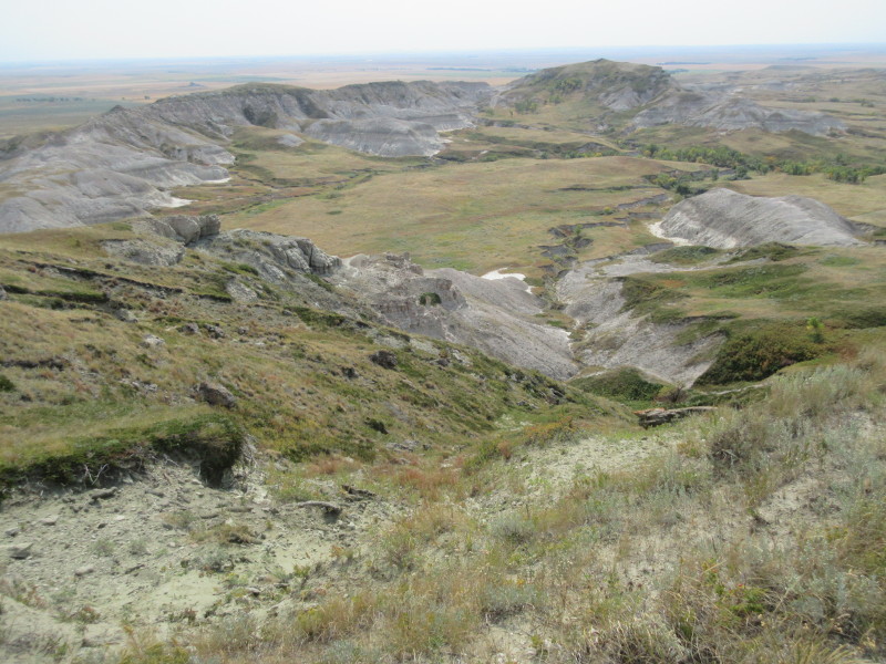
View from the White Butte summit, onto the land of the unfriendly neighbor.
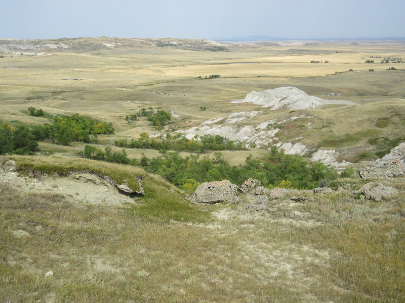
View from the White Butte summit.
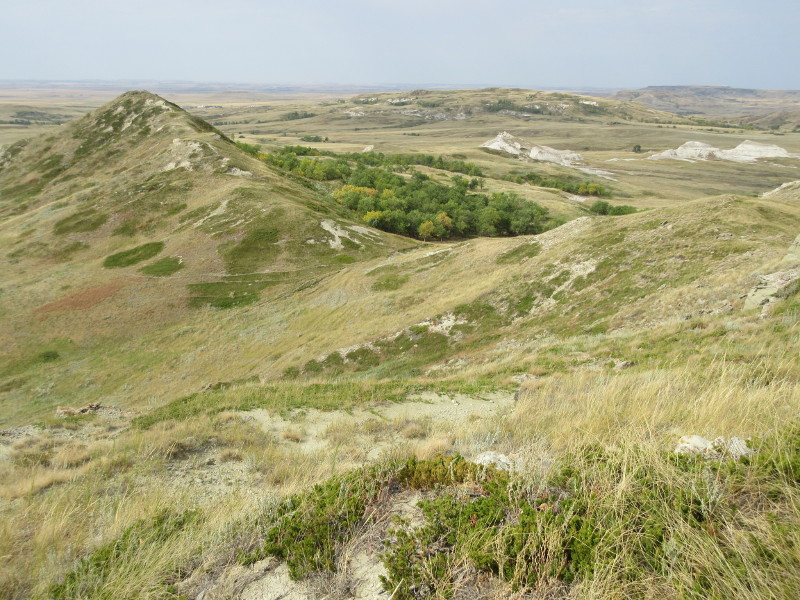
View from just west of the summit.
References
North Dakota's Best Hiking Trails, Scott R. Kudelka, Adventure Publications, 2010.
Highpoint Adventures, Charlie and Diane Winger, Colorado Mountain Club Press, 2002.
Highpoints of the United States, Don W. Holmes, University of Utah Press, 2000.
One of the things you can do in North Dakota, besides visiting the highpoint, and also Theodore Roosevelt National Park, is to follow some of the path and history of Lewis and Clark, who spent much time in North Dakota as they followed the Missouri River on their famous expedition. They spent a winter near Bismarck, where Sacajawea (or Sakakawea) joined them. There are several museums dedicated to the expedition, and one near the site of Sacajawea's home displays a cloth ball game that resembles modern hackey-sack.

Hackey-sac-ajawea???
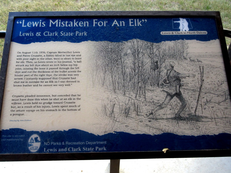
"Lewis Mistaken For An Elk" - An account of how Meriwether Lewis was shot in the backside.
Interpretive display at Lewis and Clark State Park.