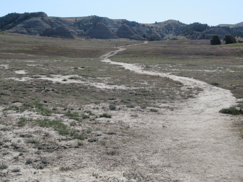
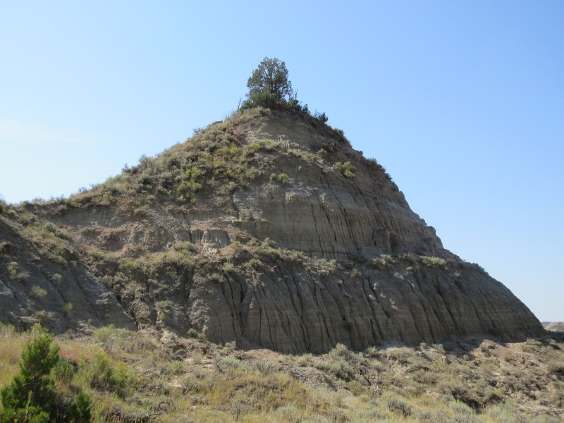
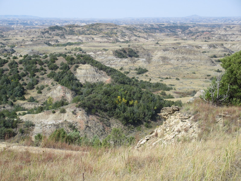
The route seen from the trailhead. The two buttes are at the upper center of the photo, with a post just below the midpoint.
Theodore Roosevelt National Park Highpoint - Peck Hill - c. 2870 ft
6 Sep 2018, 11:30 am. National Park Highpoint #11.
The trailhead for this hike is the same as for the marked trail to the Old East Entrance Station, in the South Unit of the National Park. From Medora, I entered the park at the South Unit main visitor center, and drove north on the park road. I found a lot of construction and delays but this did not affect the directions. The road crossed I-94, and then about a mile past Cottonwood Campground, I turned right onto Scenic Loop Drive, following a sign to Buck Hill. I drove along the road, past the Badlands Overlook, on to mile 12.9, between mileposts 12 and 13. Here there is a sharp left turn with a paved pullout. I parked here, at: N46.91254, W103.42903. (All coordinates are WGS84).
From the trailhead, you can look down the trail for two conical buttes about a half-mile away, with a higher hill behind. The left butte is distinctive, with a tree growing on its left side near the summit. The high hill behind is the goal about a mile away. It is easier to identify the correct buttes when you get near to the old entrance building. I started on the trail about ten minutes before 11 am.
The route seen from the trailhead. The two buttes are at the upper center of the photo, with a post just below the midpoint.
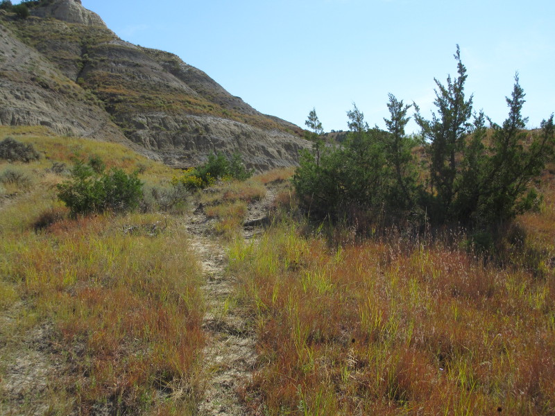
I hiked southeast along the marked trail towards the Old East Entrance Station. The trail passes through a prairie dog town, and I was greeted by these as well as a wild horse. In about 0.75 miles, I could see the locked old stone building. From here, the distinctive butte is more obvious. You do not have to have to get quite all the way to the old building. From this point on, the route is cross-country.
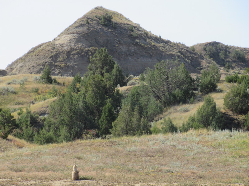
The trail crosses through a prairie dog town.
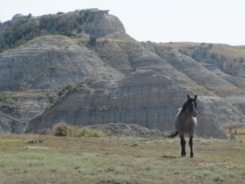
I was also greeted by wild horses.
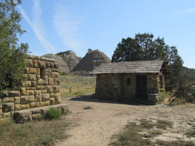
Old East Entrance Station. The distinctive butte is visible behind the main building.
I hiked cross-country to the left side of the left butte, at: N46.90862 W103.41940. Looking right, I saw the butte with the tree, and looking ahead I found bison trails. I followed the bison trails over a slight rise, and then curved to the right a bit, behind the butte, and reached a salt flat of sorts. Past the salt flat, I followed bison trails and/or the easiest terrain, crossing some small gullies, to reach and then climb up onto the hill. The hardest part was the initial climb onto the hill, after this the angle lessens. Then I hiked up a grassy valley, leading towards the top of Peck Hill, with the summit to my right. When it was convenient, I turned right and gained the open grassy summit plateau.
The distinctive small butte, seen from N46.90862 W103.41940.
Bison trails ahead, from the same spot as the previous photo.
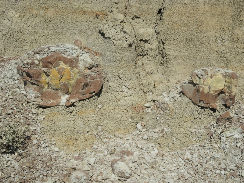
Petrified wood embedded into the badlands.
I wandered around the top of the grassy, flat hill, until I was satisfied that I reached the summit. I had a couple of waypoints pre-marked. First I went to one from Gerry Roach, and about 11:20 am, found what seemed the highest ground, at: N46.90558 W103.41376 (2871 ft). There was a small tree at the high ground, and nice views of the surrounding badlands, as well as I-94. Slightly to the east, I found a small cairn, about 4 inches tall, with the remains of a destroyed register, at: N46.90560 W103.41324 (2872 ft). Finally, I went to a waypoint from Peakbagger, and about 11:30 am found the highest ground nearby at: N46.90609 W103.41227 (2872 ft). The altitude at each of these points was about the same, with the first, westernmost, point perhaps a touch lower but with the best views. I considered this collection of points a good summit.
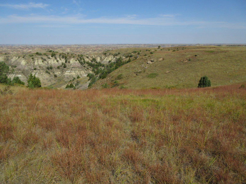
View from the grassy summit of Peck Hill.
View from the summit of Peck Hill.
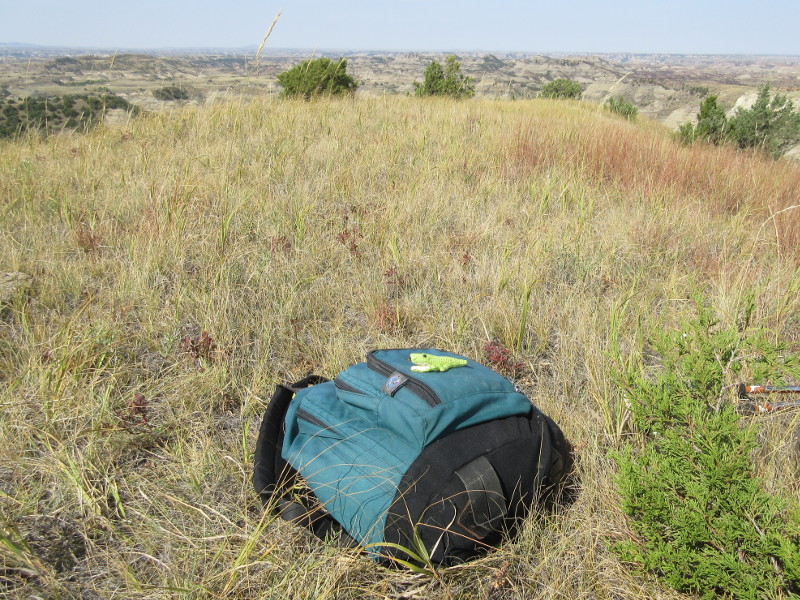
Small crocodile on the summit of Peck Hill.
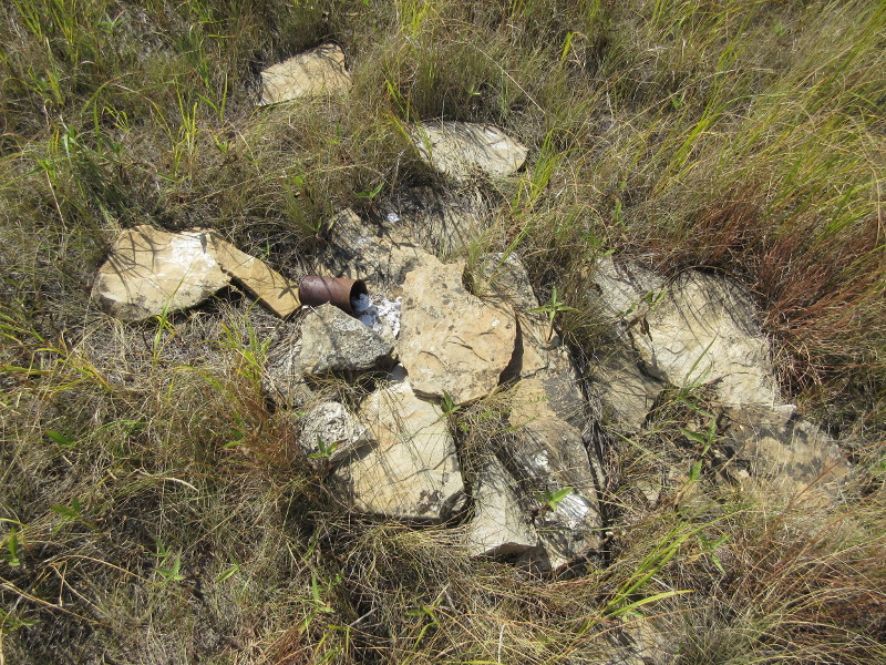
Cairn and remains of destroyed register on Peck Hill.
I returned by the same route. Beware of rattlesnakes, ticks, and bison. Other routes have been reported by hikers, since the terrain is cross-country, you can kind of choose your own path. After returning to the car, I continued along the loop road, through bison traffic jams, to the Buck Hill trailhead. This is a short and easy hike, to almost as high as Peck Hill, with even better views, and a lot more company. Among the views you can find Peck Hill.
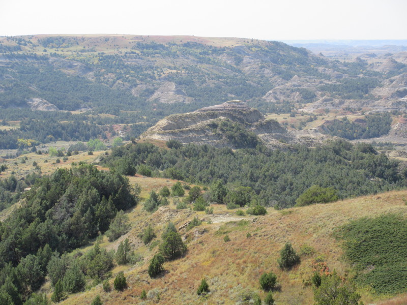
View of Peck Hill from Buck Hill.
References
National Park Highpoints - COHP
COHP - Trip Report 1
COHP - Trip Report 2
COHP - Trip Report 3
COHP - Trip Report 4
Peakbagger page for Peck Hill
Peakbagger - Trip Report 1
Peakbagger - Trip Report 2
Peakbagger - Trip Report 3
National Park Highpoints by Gerry Roach
ACME Mapper Topo