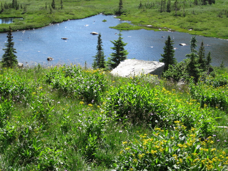
Small lake below Blue Lake, Indian Peaks Wilderness.
2013 Colorado Warmup
To warmup for Mount Rainier, I started with a trip to the Colorado mountains, on 1 Aug 2013, to acclimatize.
I decided to stay in Estes Park, and do some hiking in Rocky Mountain National Park and the Indian Peaks Wilderness just south of the national park. After flying into Denver International Airport, and driving US 36 through Boulder and Lyons to Estes Park, I headed to Coyote Mountain Lodge, on the north side of the lake. The lodge was a nice place to stay, good rooms, hot tub, reasonable price for the area, and about a mile from the center of town. The rooms need more powerful air conditioners though. It is a shame that it is so warm in mountain towns, but now it is. The tiny one in my room was not up to the challenge. There is a walk/bike trail from the lodge to the center of town, so this is a pleasant walk. The town is full of touristy shops, many alongside a creek. I wandered through the shops, found a cool bookstore, MacDonald Book Shop, and eventually to Poppy's for dinner. The restaurant had good burgers and pizza, with a salad bar, and reasonable prices. Recommended. The brochure in the motel room, about the national park, had a section that discussed the severe flash floods that have happened in history, and all the road signs warning of flash floods.
2 Aug 2013- My first stop was my favorite acclimatization locale in the world, the Brainard Lake recreational area, in the Indian Peaks wilderness. This area is easy to get to, a few miles west and up the road from Ward, at enough altitude (10,000 feet and up) to start the body adjusting, but on easy trails, not overcrowded, and full of really beautiful views. This time I took the hike past Mitchell Lake to 11,350 foot Blue Lake, about three miles each way, including some walking on the park roads. The trail is easy up to Mitchell Lake, which sits underneath Mount Audubon, then a bit steeper (but still easy) through more open terrain to Blue Lake, where you enjoy views of Mount Toll and other peaks. I have yet to go on a hike in the Indian Peaks that was not great.

Small lake below Blue Lake, Indian Peaks Wilderness.
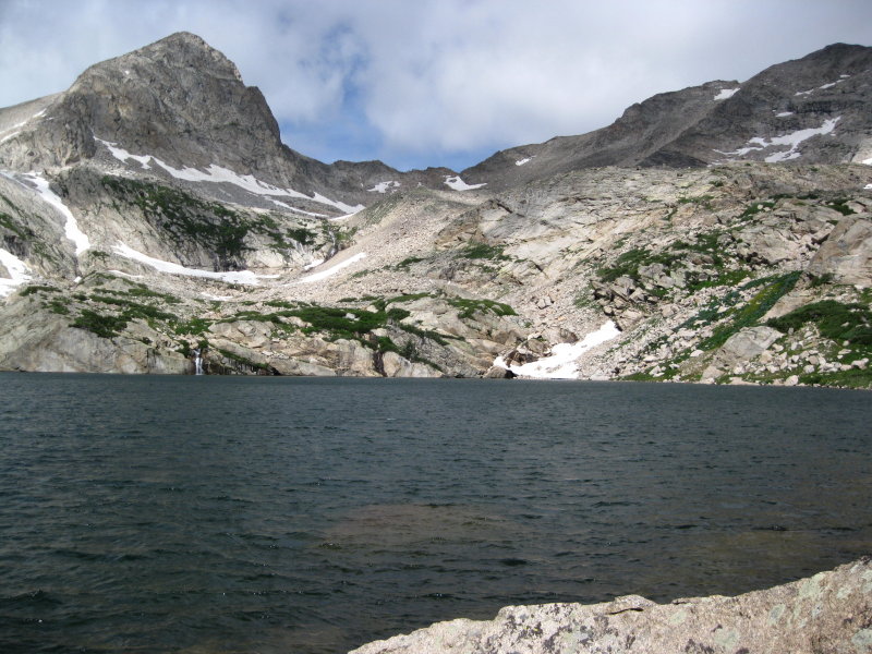
Mount Toll above Blue Lake, Indian Peaks Wilderness.
After returning to the trailhead, I drove back to Ward and then north through Estes Park, past the Stanley Hotel, to the Gem Lake trailhead. My trail guide recommended the Twin Owls trailhead in the MacGregor Ranch, but that was closed. The Gem Lake trailhead was fine though. The altitude here is less than around Brainard Lake, 8 to 9 thousand feet, and the trail is short, but it is moderately steep. You see some nice views of Estes Park on the way up the trail, and Gem Lake itself is a cool little spot, a small lake surrounded by layered rock ledges. This is a popular hike.
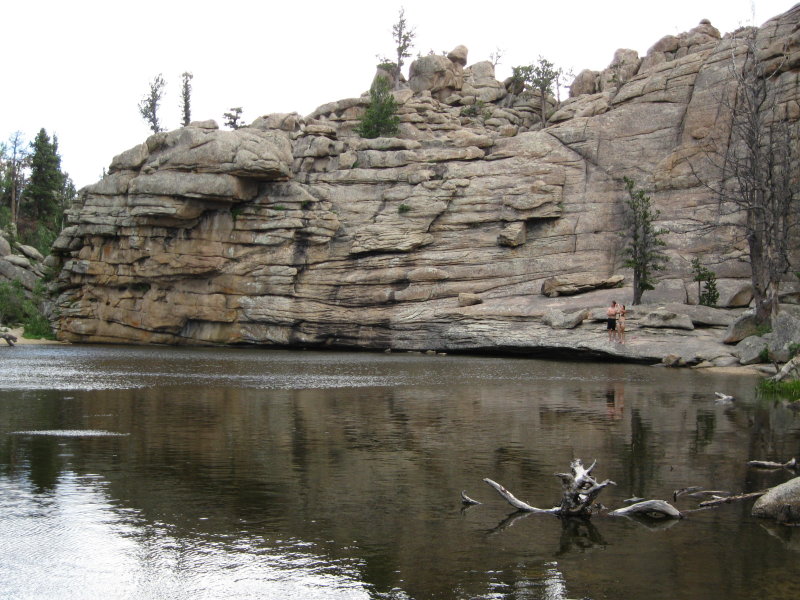
Gem Lake, Rocky Mountain National Park.
South Arapaho Peak - 13,397 ft
3 Aug 2013 - My *real* warmup though, was the next day, with a hike up 13,397 foot South Arapaho Peak, also in the Indian Peaks wilderness, farther south than Brainard Lake. After a 3 am alpine wakeup, I drove in darkness south on Colorado 7 and 72 to Nederland, then west through Eldora, and on to where the pavement ends at the Fourth of July area. It is only about another 5 miles up the road to the Buckingham campground, and the Fourth of July trailhead, but on the rough road, it took me about 45 minutes in my sedan. One car passed me on the drive in, which was the only other car in the parking lot when I got there around 5 am. There were a few other cars parked along the road, but not many. It did not seem crowded. There was a touch of light in the sky, but not enough to hike by, especially in the trees, so I got to use my new headlamp. The other car was two guys with fishing poles, and since they didn't have a headlamp, they followed me at first. The trail climbs gently through the woods at first, with a few small wet spots, but eventually comes into more open terrain, and flattens out for a bit. At about 11,100 feet I turned right at a junction, instead of staying straight towards Arapaho Pass, and took a break on some nice rocks. There was a marshy spot on the trail just after the junction, but after this, the dry trail climbed steadily up the shoulder on the south side of the peak. After passing a very large cairn, which made a convenient windbreak, the trail continued up through flower filled meadows to the saddle southeast of South Arapaho Peak, where the route leaves the trail. The route continues by scrambling up Class 2 talus to the summit. The view was wonderful, with the Arapaho Glacier below, and North Arapaho Peak just 100 feet higher. There was a Colorado Mountain Club group on the mountain at the same time, and they were continuing with the Class 3-4 traverse of the ridge to North Arapaho Peak, 100 feet taller than South Arapaho, and the highest point in the Indian Peaks. I did not go past the South peak, however. On the way back down, I started to pass quite a lot of people, over a hundred by the time I got back to the parking lot. By then, the parking lot was completely packed with cars, with no extra space at all. One side of the road was also completely packed with parked cars, and since there was no usable shoulder most of the time, passing oncoming traffic was not always easy. There were some vehicles that were too large for the cramped road, one limo-style bus in particular, that should not have been on that road. I was getting a little bit of an altitude headache, and all this made the drive back to Estes Park rather tedious.

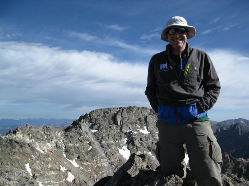
From the summit of South Arapaho Peak, looking down and towards North Arapaho Peak.
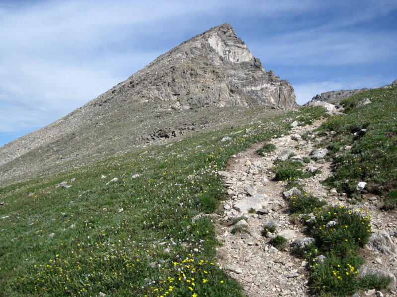
South Arapaho Peak, from just below the saddle.
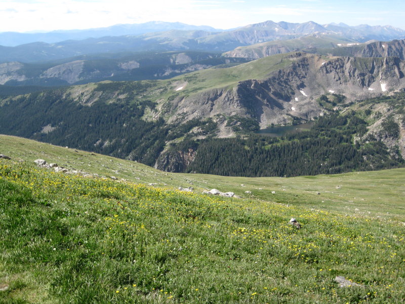
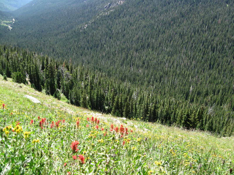
Meadows in the Fourth of July area.
4 Aug 2013 - The next day, I slept in, and then a visit to Chasm Lake, underneath the huge face of Longs Peak. The first time I went to that lake, Tom and I were chased away by thunderstorms, and we only spent perhaps 15 minutes at the lake. This time around, I would not get to stay nearly that long before the predictable thunderstorms drove me off. By the time I got to the trailhead, perhaps 9 am, the parking lot was completely full, with many surely on the Keyhole route up Longs Peak, but I found a spot along the road farther down. As I approached the junction near Mount Lady Washington, where the Keyhole route heads right, and the trail to Chasm Lake left, I could see some poor weather brewing, on the other side of the mountains. The peaks did tend to hide the clouds, but out of sight did not mean out of danger. I wanted to get to the lake though, for the amazing view of Longs Peak, so I continued on after a short rest. After the last steep part of the trail, I reached the lake, and stopped for about 5 minutes for some water and photos, and split to the sounds of thunder on the other side of Longs. Once I got back to the junction, I decided my fast walking pace wasn't enough, and then started trail running the rest of the way. My hiking boots turned out to be surprisingly adequate trail runners. Once I got well below the trees, I slowed down, and it soon started to rain. This felt nice and cool, so I took my hat off, until it started to hail, when I had to put the hat back on. The next day, I had one more alpine start, a 3:30 am wakeup, before driving back to the Denver airport, and on to Washington, to meet up with RMI and climb Mount Rainier.

Looking towards Longs Peak and Chasm Lake from the trail junction.
Despite the blue skies in this photo, the weather is deteriorating.
About six weeks after my visit, this part of Colorado was hit by very severe flooding, with loss of life. Lyons suffered severe damage, as did other towns, including part of Estes Park. The damage to roads was particularly thorough. US 36 is still closed as of this writing, and US 34 east of Estes Park, through Big Thompson canyon, suffered catastrophic damage. There are parts of Estes Park, where homeowners will not have access to their homes for over a year! Estes Park is currently closed to visitors, with limited road access. They were not kidding about the flash flood warnings!