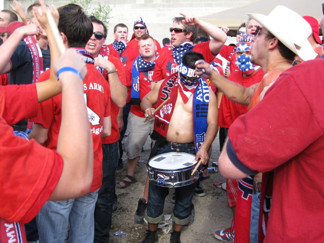
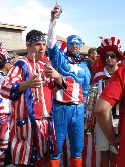
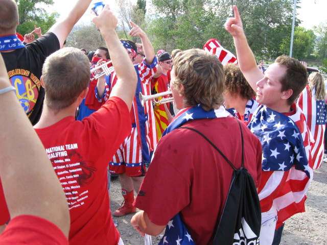
The Army getting prepared for the game.
Back to Highpoint Index
Back to Utah
USA vs. El Salvador - World Cup Qualifier, 5 Sep 2009.
I started out my trip with the World Cup Qualifier between the
USA and El Salvador, at Rio Tinto Stadium in Sandy, UT. (Basically a suburb of
Salt Lake City.) This kept up my streak of having attended a match in all the
World Cup tournaments since 1994 when it was in the USA. (The only one where I
actually went to a game in the final tournament, instead of just a qualifier.) I
didn't buy a ticket in the Sam's Army section, but I had on my Sam's Army shirt,
so I figured I'd march in with the group, and then I decided to stick around in
their section until somebody booted me out for having a ticket somewhere else,
but nobody ever did, so I stayed the whole match. El Salvador scored first, but
the USA scored twice afterwards, to claim the 3 points, and eventual
qualification for the finals in South Africa.
US Soccer Match Report


The Army getting prepared for the game.
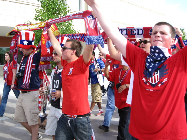
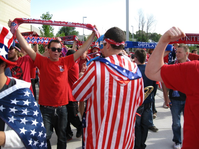
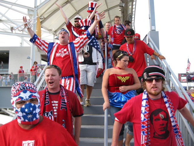
"Oh when the Yanks - Go marching in - Oh how I want to be in that number -
Oh when the Yanks go marching in!"
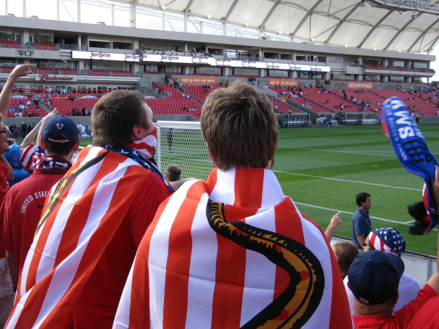
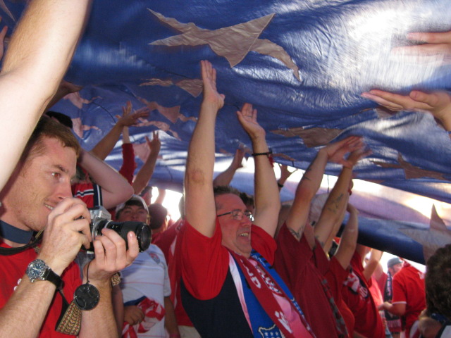
With every USA goal, the Big Ass flag goes up.
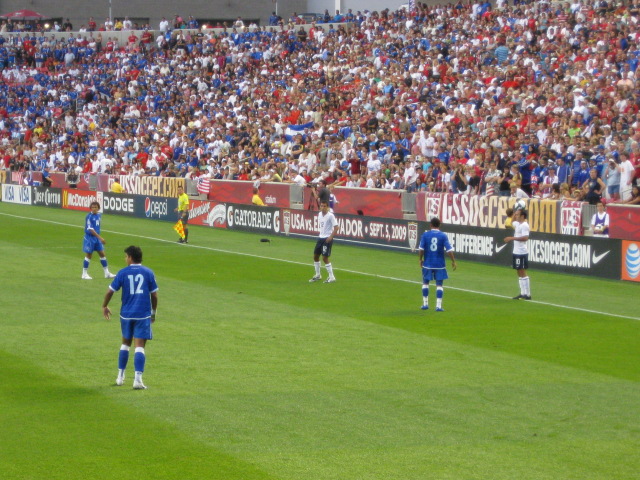
There were plenty of Salvadoran fans at the match.
To build some altitude acclimatization, I did a fairly short hike up to Alexander Basin, below Gobblers Knob, just outside of Salt Lake City. One of my guidebooks described the slope as 'relatively easy for anyone experiencing a brief brush with fitness', but I found it rather steep and strenuous. From the Alexander Basin trailhead on Mill Creek Road, at about 7160 feet, I climbed to the south for about 2 miles, climbing about 2000 feet, to reach the basin, which was a nice lunch spot. One can continue onto the summit, though there is no official trail, but I did not go any farther.
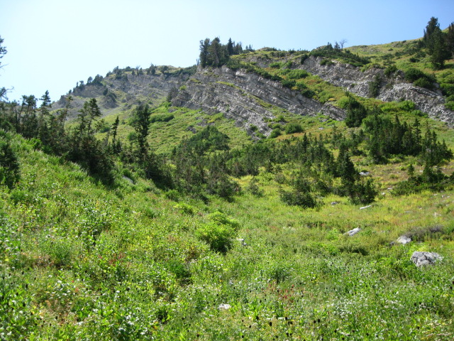
Alexander Basin, looking towards Gobblers Knob.
Mount Timpanogos, 11749 feet, 7 Sep 2009.
To warm-up for Kings Peak, I hiked up Mount Timpanogos on Labor Day, 7 Sep 2009. I got to the trailhead of the Timpooneke Trail, at 7360 feet, north of the peak, at about 5 am, and got about the last spot in the parking lot. This is a popular hike, especially on holidays! Supposedly, you are not allowed to park on the side of the road, but this did not seem to be enforced on this day, as when I headed home there were hundreds of cars illegally parked on the road. The trail heads south, and up, through the "Giant Staircase", then up a ridge (with some exposure), then joins the Aspen Grove Trail just before reaching a saddle. After the saddle the trail continues about another half mile and 700 feet up, along a ridge to the 11749 foot summit. Parts of this are a bit exposed, and there is a short steep section that was almost a scramble. The views from the summit are outstanding! On the way down, I mistakenly started to descend the Aspen Grove Trail, which was an annoyingly steep scree slope. This was a pretty spot though, with lots of wildflowers, which (kind of) made up for having to re-ascend the tedious slope. This is a spectacular hike, and definitely deserves a 'Classic' grade, despite the complete lack of solitude. The round trip is about 14 miles, with about 4400 feet of elevation gain.
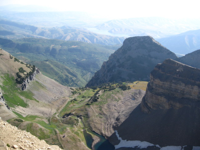
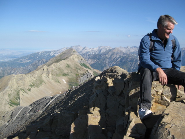
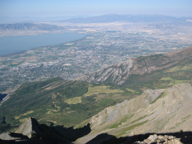
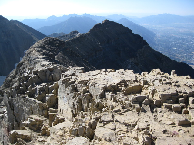
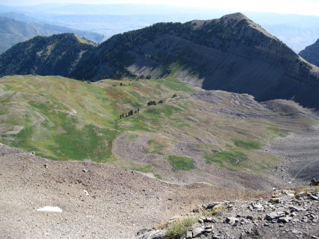
Views from the summit of Mount Timpanogos.
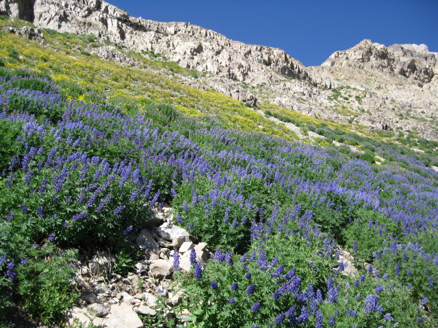
Some nice wildflowers along the tedious scree slope on the Aspen Grove Trail
just before it joins the Timpooneke Trail.
On the way to Kings Peak, I stopped at the McConkie Ranch, near Vernal, for a short hike to some petroglyphs. After this, I drove through part of the Flaming Gorge National Recreation Area, which had some nice views, and then on to the Motel 6 in Rock Springs, WY. Now it was time for Kings Peak!
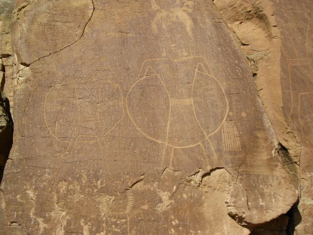
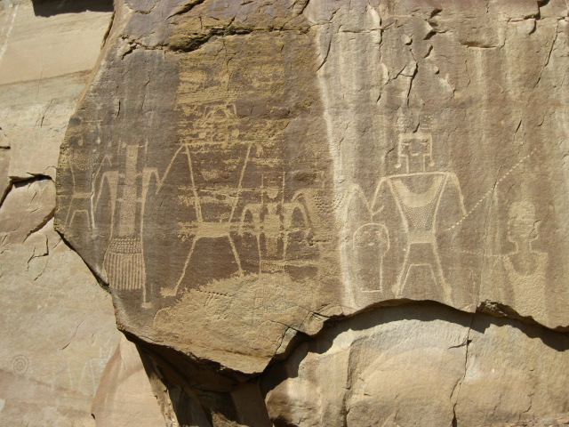
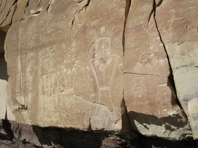
Petroglyphs at McConkie Ranch.