Follow the white blazes to the highpoint of Maine!
Shenandoah National Park Highpoint - Hawksbill Mountain - 4050 ft
9 June 2005, around 2 pm. National Park
Highpoint #6.
Back to 2005 Northeast Highpoint Expedition
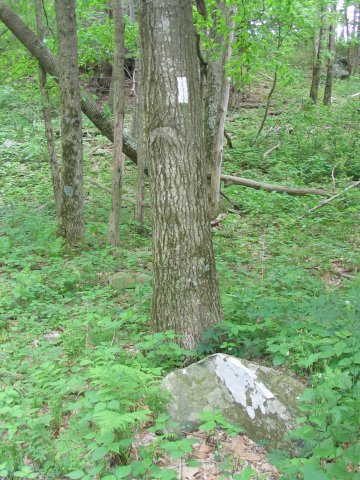
On 9 June, I left Harrisonburg, VA, heading east on US 33. Soon, I entered Shenandoah National Park, paid the $10 fee to enter Skyline Drive, and headed north. This is a pretty drive, recommended if you are traveling this way, although not speedy. I drove towards the Hawksbill Gap parking area at mile 45.6, where the trailhead was. The weather looked threatening, however. Numerous clouds were piling up and seemed like they were about to become thunderstorms. I ended up milling around for a while, trying to decide if the hike was a good idea. The storms held off for the moment, so I decided to go ahead with the hike. From Hawksbill Gap parking, the Lower Hawksbill Trail is an easy to moderate hike of 1.7 miles round trip, with around 700 feet of elevation gain. Before I really started, I made a short detour to a segment of the Appalachian Trail (a.k.a. trail to the Maine highpoint) and hiked along that for a few feet. (The AT passes just north of the summit.)

Follow the white blazes to the highpoint of Maine!
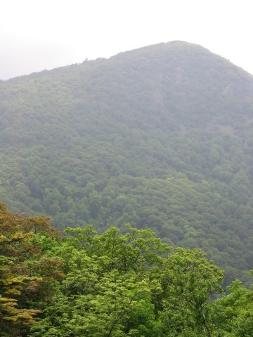
After that, I returned to the main trail, and sped to the summit. On top, there was a park employee studying some peregrine falcons, but also bad weather closing in. I stayed just a few minutes, then returned to the car, and continued the drive north along Skyline Drive. I stopped a little later, and took a picture of the side of the mountain. Soon after, heavy rain started pouring down.

Flowers along the trail.

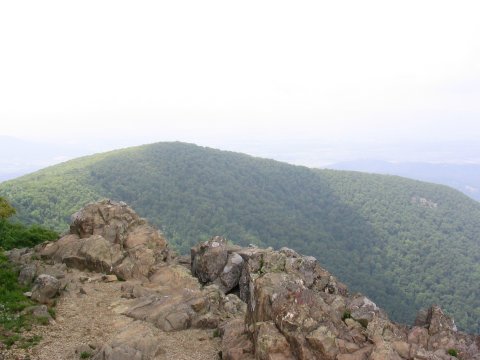
Summit view.

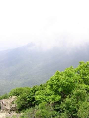
Bad weather was coming in quickly, so I did not stay long.

Hawksbill Mountain, from the north along Skyline Drive.
The hike is along the left skyline, while the AT passes right of the summit.
The park service notes this as a 2 hour round trip, which is generous, probably assuming a long stay on the summit. I made the hike a lot faster, in just 45 minutes, but I was trying to beat the storms and I did not stay long on top.