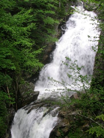
Crystal Cascade, visible very near the start of the trail.
New Hampshire Highpoint - Mount Washington - 6288 ft
16 June 2005, 11:05 am.
Highpoint #30.
Back to 2005 Northeast Highpoint Expedition
My route started at Pinkham Notch along the Tuckerman Ravine trail. The trail climbs moderately steeply for 2.4 two miles to Hermit Lake. Past this point, the Tuckerman Ravine trail was closed due to a large amount of snow and ice still present on the headwall of the ravine, which posed an icefall danger. So, hikers were required to take the Class 2 Lion Head trail from just before that point, for 1.6 miles until it rejoined the Tuckerman Ravine trail near the bottom of the cone of Mount Washington. The Tuckerman Ravine trail was open from there to the summit, 0.4 miles more. (Note: The Lion Head trail might 'officially' be rated Class 1 [I am not sure] but I would rate it Class 2.) There is water available from a well at Hermit Lake and at the summit, no treatment is necessary for either source.

Crystal Cascade, visible very near the start of the trail.
I made my first attempt on 15 June. After a three hour drive from Portsmouth, NH, plus a talk with rangers about trail conditions, I didn't get started until almost 10 am. Despite the seemingly short distance (just over 4 miles to the summit) this hike takes a while, especially on the steep Lion Head trail. I went up the trail to Hermit Lake, got some water there and talked to the caretaker who lives there, then started up Lion Head. The weather was foggy to the point of mist, with occasional stretches of rain, but not that cold or windy. After ascending almost all of the way towards rejoining the Tuckerman Ravine trail, I decided at 1:30 pm that it was getting too late, that I might be risking being caught in a storm, and so I turned back about 900 feet below the top. I was probably being overly paranoid, but I had extra days to use, so a delay was no problem. (Besides, I got more exercise this way!)
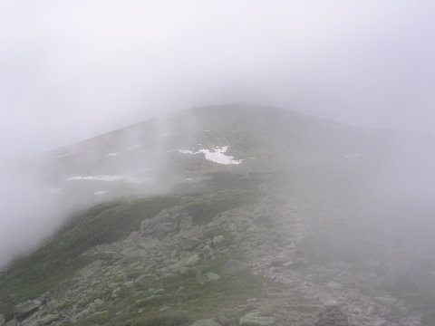
Some relatively clear weather on my first day, near the top of Lion Head.
After spending the night in Conway, much closer than Portsmouth, I got an earlier start the next day. In addition, I started the day with a good hot breakfast, served at Pinkham Notch (open at 6:30 am), which fueled me up better than the trail food I would have otherwise eaten for breakfast. The weather was again very foggy, but it didn't rain quite as much as the day before. After an hour and 15 minutes, I reached the Lion Head trail, and started up it (again), skipping the water refill at Hermit Lake this time. Soon afterwards, the clouds started to clear away, suggesting that I might have a nice view. This was just a tease, unfortunately, as the clouds soon closed back in.
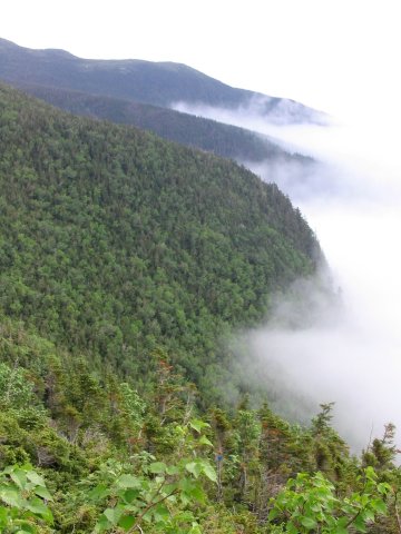
The clouds promised to clear away, but changed their mind.
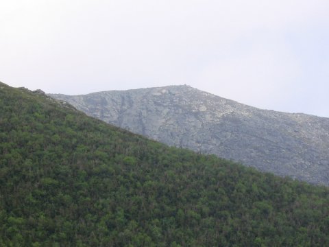
A brief clear view towards the summit.
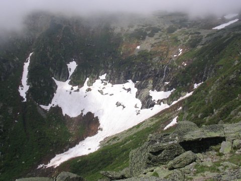
The headwall of Tuckerman Ravine.
As I continued boulder-hopping up through the fog, the trail was marked both with blazes and a series of gigantic cairns. As I reached each cairn, the next one would be just barely visible, looming through the mist. Just before 11 am, I heard the sounds of automobiles, so I knew I was close. Soon, the trail met the road. Visibility was very low, perhaps 25 feet, so I avoided the cars and motorcycles that could probably barely see me while I hiked along the road for a few yards, climbed a set of wooden stairs, crossed the cog railway tracks, and made the final short hike to the summit, reaching the top at 11:05 am, 3 hours and 35 minutes after I started. What a view - endless vistas of featureless gray in all directions! Some flags flying just below the summit were dimly visible through the grey. Still, it wasn't that cold or windy, so I can't complain about the weather.
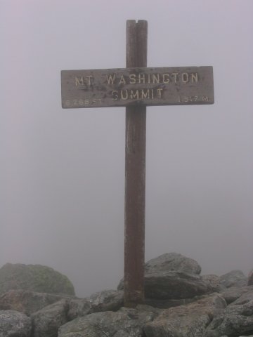
Endless vistas of featureless grey.
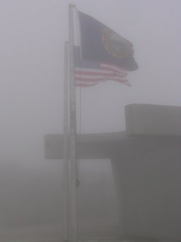
New Hampshire and US flags barely visible through the fog, just below the
summit.
I took an hour long break in the tourist buildings at the top, enjoying a welcome bowl of chili for lunch, while looking out the windows at the endless expanses of gray, before starting the hike back down. As I started down, it started to sleet a bit. This concerned me a little, as the rock hopping was treacherous enough when only wet, ice would not help any. The sleet didn't last, however. I continued carefully descending the boulders back down, finally returning to Pinkham Notch after a 3 hour 35 minute descent, exactly as long as it took me to go up. After changing out of my wet clothes, I drove on towards Vermont. On the way, I picked up some (very topically named) Tuckerman Pale Ale, which was decorated with a nice picture of people skiing just below the headwall of the ravine.
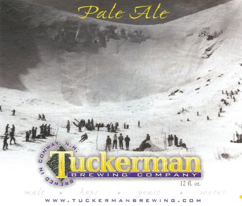
It's nice to find some beer directly related to the mountain!
References
Highpoints of the United States, Don W.
Holmes, University of Utah Press, 2000.
AMC White Mountain Guide, 25th edition.