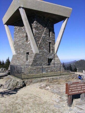
Observation tower on the summit.
North Carolina Highpoint - Mount Mitchell - 6684 ft
4 Dec 2004, 1 pm. Highpoint #14.
Back to 2004 Southeast Highpoint Expedition
I made the hike from Black Mountain Campground to the top of Mount Mitchell, the highest point east of the Mississippi River. To reach the trailhead, I took SR-80 north from US-70, just past the Blue Ridge Parkway intersection, to FR-472, which leads to the campground. This road was closed about 1.5 miles short of the trailhead, so I had to add a little distance to the hike, which is normally 11.2 miles with 3450 feet of elevation gain. The day was short, and this is a decent distance, so I worked to make good time, and made the top in 4 hours, including the extra start. The trail is consistently steep upwards, but never too bad. There were a lot of fallen leaves on the trail, which made it hard to avoid banging my boots on the tree roots and rocks underneath. This wasn't so bad on the way up, but on the descent I got pretty tired of banging my feet. There was a lot of brush across the trail as well. As the trail climbed, I started to see a lot of neat looking ice crystals. (Not icicles, but actual crystals.) There were also a lot of interesting mica crystals. A little higher, several seeping streams, which in summer would have meant mud, were frozen into very slippery ice. Near the top, I saw several people that had taken the drive-up route, but I did not see anybody on the main trail. This summit had the best views of the highpoints I reached on this trip. The ascent had been a pleasant workout, but those same 3450 feet on the descent were thoroughly irritating. My feet were happy that I had the next day off.
After returning to the car, I drove away towards Cary, NC, with an endorphin buzz, for the NCAA women's soccer national championship game the next day.
Observation tower on the summit.

Me, standing on the actual high point.
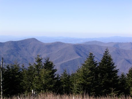

Views from the summit. Many of the trees are dying.
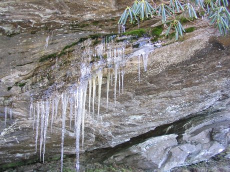
Icicles near the top.

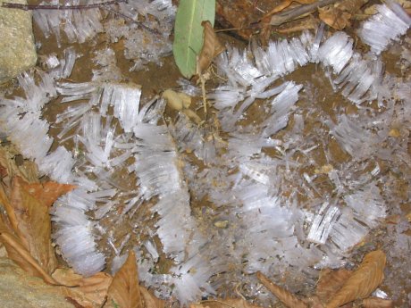
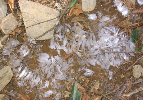
Neat ice crystals along the trail.
References
http://sherpaguides.com/north_carolina/mountains/black_mountains/mount_mitchell.html
http://www.targotennisberg.org/highpoints/northcarolina/
http://filebox.vt.edu:8080/users/lbrieda/webpage/highpoints/mitchell/mitchell/mitchell.htm
http://filebox.vt.edu:8080/users/lbrieda/webpage/highpoints/mitchell/mitchell/map.jpg