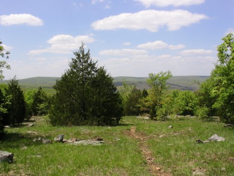

With a lot of recent rain, the area was very green!
Missouri Highpoint - Taum Sauk Mountain - 1772.68 ft
1 May 2005, 10 am. Highpoint #17.
On 30 Apr 2005, I set out from Johnson's Shut-Ins State Park, on the 26 mile round-trip hike to Taum Sauk Mountain and back, along a segment of the Ozark Trail. Much of the recent weather seems to have been rainy, but this weekend had perfect hiking weather. There were many other backpackers taking advantage of the great weekend weather, I saw maybe thirty of them along the way. I think most all of them had arranged a car shuttle, walking just one way, from JSI to Taum Sauk, but I went there and back on foot.
The area was very green with all the recent rain. Along with all the wildflowers, this made for a very pretty walk. I also saw a number of blue-bellied lizards. There are two trailheads for the Ozark Trail in the state park, one heading east towards Taum Sauk, the other heading west towards Highway A. The trail starts out along the East Fork of the Black River, soon crossing several streams before heading uphill. After the trail started to climb, there were few if any drinking water sources until about 8 miles in. The up-and-down on the trail was not too bad, but about a third of it was very rocky, which was hard on my poor feet. It was also muddy in a lot of places. The trail, very well marked with green and white OT signs, winds along Proffit Mountain, mostly under tree cover with some open rocky areas here and there. About 8 miles in, as the trail headed generally south and downhill towards Taum Sauk Creek, I passed near a creek, a good water source. There were lots of people setting up camp near the water. I continued on, for another 2 miles or so, until just after the trail crossed Taum Sauk Creek and joined an old jeep road, and set up camp.
The next morning, still with perfect weather, I continued on towards the summit, now carrying a light load without the overnight gear. The trail follows the jeep road for 1.5 miles or so, passing Devils Tollgate, an area where many large rocks have fallen in the creek, and where two vary large rocks straddle the trail itself. Around here, the trail leaves the jeep road and gets rocky again, continuing on towards Mina Sauk Falls, the highest waterfall in Missouri. The steepest section of the trail is here, while climbing past the falls. About a mile past the falls, at 12.5 miles in, I reached the spur trail to the Taum Sauk summit. After a photo and lunch break, I headed back the way I came. When I reached my camp, I packed up, and then continued back to the park and my car.
One experiment I tried this time was to add ascorbic acid powder (Vitamin C) to iodine-treated drinking water. This MUST be done after the iodine has had time to do its work, as Vitamin C specifically destroys the disinfecting properties of iodine. The C powder then changes iodine to iodide ion, which has much less taste and color than iodine, and no longer any ability to treat water. Instead of an iodine taste in my water, I then had a Vitamin C taste, (kind of like weak Gatorade), much nicer than the iodine taste. Maybe even good for you!
This was a neat hike, I definitely would recommend bagging this highpoint via this trail, rather than doing the drive-up. The Taum Sauk summit is not all that impressive by itself, the rewards were instead in getting there.


With a lot of recent rain, the area was very green!
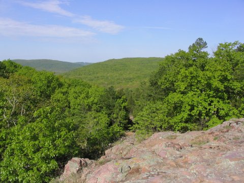
View from near the summit of Taum Sauk.
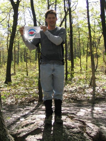
Highpoint #17.
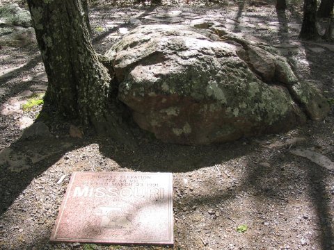
The summit boulder, with granite marker indicating the 1772.68 foot elevation.
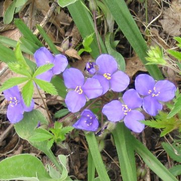
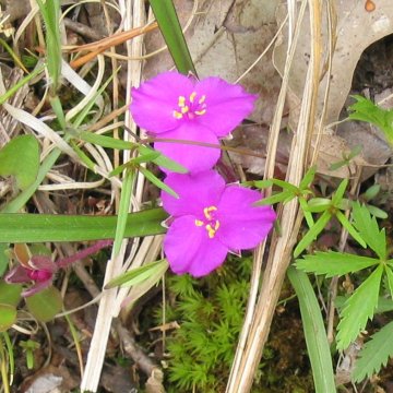
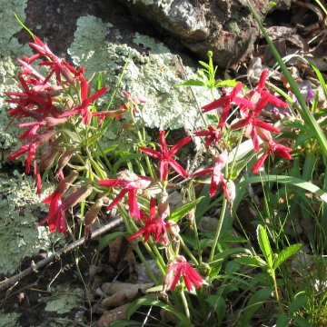
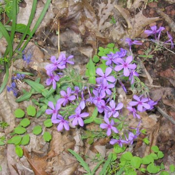

Lots of colorful wildflowers.

Some less friendly vegetation.

Devils Tollgate.
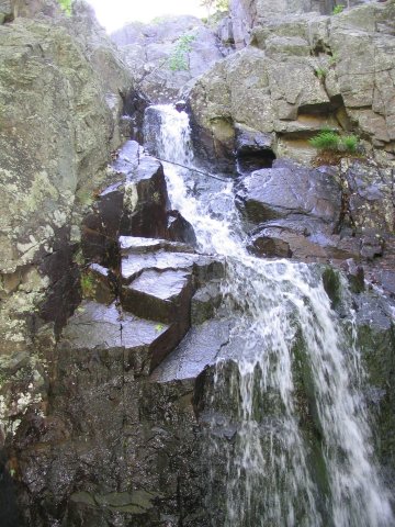
Mina Sauk Falls.
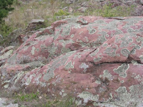
Lichen on rock formations.
References
The map that I printed out beforehand is here, but you can also get a good free map at the park store.
http://www.ozarktrail.com/taumsauk.htm - The Ozark Trail.
http://www.ozarktrail.com/maps.htm - Excellent maps of the trail.
http://www.mostateparks.com/jshutins.htm - Johnson's Shut-Ins State Park.
http://www.network54.com/Forum/message?forumid=198362&messageid=1085200460 - A good trip report.
The Ozark Trail: Taum Sauk Section, Ozark Trail Council - Free map available at the park store.