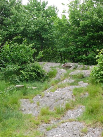
Mount Williams summit.
Massachusetts Highpoint - Mount Greylock - 3491 ft
13 June 2005, 1:22 pm. Highpoint
#28.
Back to 2005 Northeast Highpoint Expedition
From North Adams, MA, I turned south off of SR 2 onto Notch Road, and headed towards the Mount Greylock State Reservation. About two miles after the road enters the reservation, it turns directly south again. Around this point I found a parking area called "Wilbur's Clearing", at 2285 ft, just south of where the Appalachian Trail crosses Notch Road. There was a large sign at the parking area, and also good trail maps. There are some trails leaving directly from the parking area, but I headed north a few yards to the Appalachian Trail, and started east, and uphill, at 10:30 am. The fairly steep trail was very well marked here, lots and lots of white blazes. The trail was obvious, and there were no intersections with any other trails. Seemingly impossible to get lost...
I was sweating pretty good in the warm and humid conditions, but made pretty good time, reaching the summit of Mount Williams, 2951 ft, in less than forty minutes. At the summit there was a small rocky area, and I took a short break to check it out, and continued on. Unfortunately, my sense of direction failed me at this point. I convinced myself that the way I needed to continue was the way I had actually come. I was not using my GPS due to the tree cover, so I didn't have the 'electronic bread crumbs' to clue me in that I was now going backwards. I didn't check the compass either, after all, I was 'sure' which way I needed to travel. My path now took me steeply downhill, rather than gently down to a saddle along a ridge as I was expecting. Nonetheless, I continued on, failing to recognize the trail as the one I had just ascended, until I lost about 550 feet of elevation, almost all the way back to the road. Finally, I checked the altimeter, and realized that I had to be off course. I turned back and returned to the summit of Mount Williams. Remaining confused as to which way to go (I *still* hadn't figured out that I had been going backwards), I was scratching my head when I met another hiker who pointed me the right way. Finally, I headed south towards Greylock, on the gentle descent I had expected in the first place. I know one of the rules is to expect to be going the wrong way at least some of the time, but this was embarrassing.
After about 2 miles of relatively level hiking, the trail started steeply uphill again until reaching the summit, which I tagged at 1:22 pm. The views were, unfortunately, somewhat hazy. I climbed the tower (many fewer steps than the New Jersey highpoint tower), admired the view, then came back down and had some lunch. I started back the way I had come, but this time, before making the final climb to Mount Williams, I headed left (west) on a trail heading towards Notch Road. (I think this was the 'Old Summit Road'.) This was more overgrown, and not as well maintained, as the AT, but definitely a less steep descent. (Besides, I had already descended almost all of the AT from Mount Williams, anyways!) This trail came out right at the parking area and my waiting car. After a refreshing beverage, I continued on towards Connecticut and Mount Frissell.

Mount Williams summit.
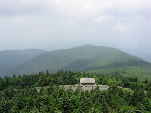
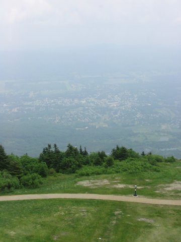
Views from the summit tower.
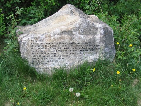
Monument near the summit.
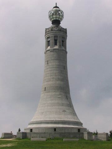
Summit tower, which you can climb.
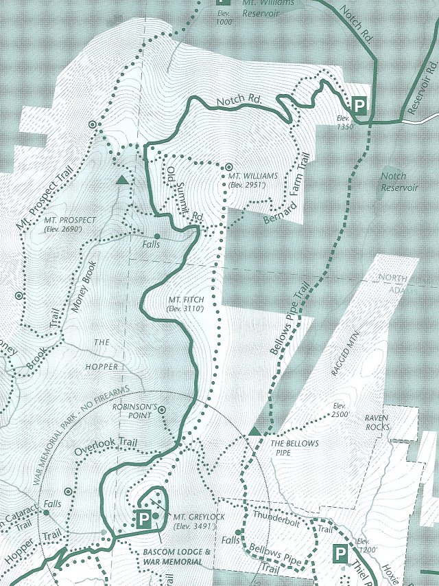
Map of the trails in the area. I picked this up at the trailhead.
References
Highpoints of the United States, Don W.
Holmes, University of Utah Press, 2000.
Mt. Greylock State Reservation & Greylock Glen Trail Map - Department of
Conservation and Recreation
I picked this map up at the trailhead. Part of it is reprinted above.