
Summit of Driskill Mountain.
Louisiana Highpoint - Driskill Mountain - 535 ft
29 Nov 2004, around 9 am. Highpoint #9.
Back to 2004 Southeast Highpoint Expedition
The hike starts on the red clay road to the left of the cemetery behind the Mount Zion church on state road 507. The road was pretty muddy, but there seem to be some new signs to keep highpointers from getting lost. Several reports have mentioned making wrong turns, and the tricky junction is now marked with signs showing the correct way. There is no view from the summit due to trees, but I did sign the register. (There might be a clearing near the summit, but I missed it.) Distance of 1.25 miles round-trip, elevation gain 120 ft.
The demise of outlaws Bonnie and Clyde happened near this spot. The motel I stayed in had lots of Bonnie and Clyde related pictures on the reception counter. There is supposedly a marker at the point where the pair was ambushed and killed, but I did not have complete directions so I skipped it.
Summit of Driskill Mountain.
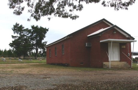
Mount Zion church.
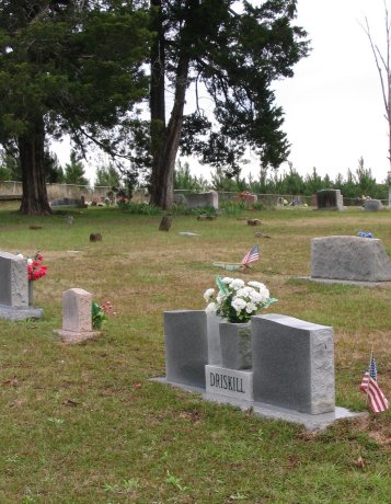
Cemetery behind the church.
References
http://americasroof.com/la.shtml
http://www.targotennisberg.org/highpoints/louisiana/
http://www.peakbagger.com/peak.aspx?pid=6630