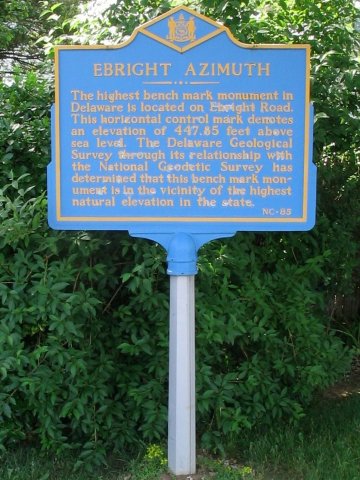
The official sign.
Delaware Highpoint - Ebright - 447.85 ft
12 June 2005, 10 am. Highpoint
#26.
Back to 2005 Northeast Highpoint Expedition
On 12 June 2005, I made the drive to the intersection of Bramblewood Drive and Ebright Road, the official highpoint of Delaware. There is some ambiguity as to the exact location of the true Delaware highpoint. The Ebright Azimuth sign, generally recognized as the highpoint, is on the SE corner of Ebright Road and Ramblewood Drive, at the entrance of the Dartmouth Woods subdivision.

The official sign.
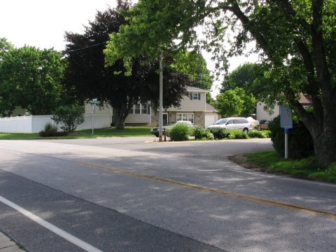
The middle of the road is a bit higher than the sign, but obviously is not a
natural feature!
However, the current (likely manmade) highest point, is in a trailer park about 250 yards to the west, to which access is not permitted. Specifically, according to Don Holmes, there is a boulder immediately N of Turf Road approximately 150 yards W of Ebright Road next to a mobile home, which is, at 450.85 ft, higher than the base of the Ebright sign at 448.25 ft. Although higher than the base of the Ebright Azimuth sign, the boulder is probably the result of grading and landscaping for the mobile home park and is, therefore, manmade and does not count as the highpoint. The 1997 edition of the Wilmington North, Del-Pa topo map shows a closed contour with an elevation of 450 feet. This area is in the trailer park ("the first trailer") approximately 250 yards W of the tower on the W side of Ebright Road. It is unknown if this is a natural or manmade feature.
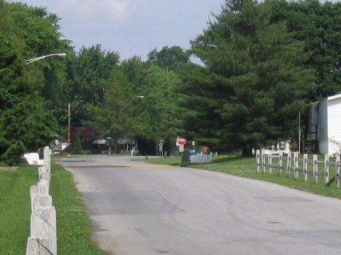
The rock to the right of the stop sign is probably the one in question.
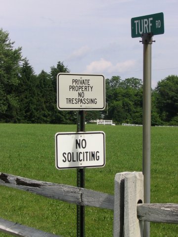
Access to the mobile home park is not permitted, so I could not investigate the
boulder or the 450 ft contour any further.
To confuse the issue further, a new housing development of 'McMansions', Brandywine Hunt by Toll Brothers, is under construction on the site of the old Brandywine horse track. The area is being extensively landscaped, which may affect the 'manmade' highpoint position, but not, of course, the natural highpoint.
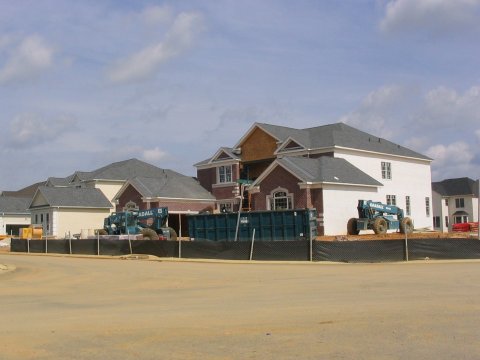
Brandywine Hunt, by Toll Brothers.
In any case, this seems like splitting hairs, so the accessible official sign seems to be an appropriate destination. The maps I used of the area are here. Measuring from this map, I figured UTM coordinates for the official sign as 18S 455590 4409680, and some coordinates that approximately trace out the 450 ft contour as 18S 455259 4409710, 18S 455335 4409690, 18S 455410 4409657, 18S 455392 4409629 and 18S 455274 4409681.
References
Highpoint Adventures, Charlie and Diane
Winger, Colorado Mountain Club Press, 2002.
Highpoints of the United States, Don W.
Holmes, University of Utah Press, 2000.
Apex To Zenith, Highpointers Club
Newsletter, Spring 2005, Issue 68.