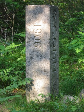
State Line marker on Mount Riga Road, near the trailhead.
Connecticut Highpoint - Mount Frissell South Shoulder - 2380 ft
13 June 2005, 6:27 pm. Highpoint
#29.
Back to 2005 Northeast Highpoint Expedition
After wasting time going the wrong way in Massachusetts, I was in a bit of a hurry to finish the hike to the Connecticut highpoint before it got dark. Following the Winger directions, I parked in the allotted area and set out on foot at 5:45 pm. The trail, marked with red blazes, starts out on an old road and soon cuts left onto a single-track trail. There are a number of fairly steep sections along the Class 2 trail, and since I didn't want to have to descend these in the dark, I was trying to keep a fast pace to make sure I finished in time. Soon I was hiking along the rocky area on top of Round Mountain. Just after that, I was startled by an unmistakable sound - a rattlesnake, reminding me who has right-of-way on the trail. (Hint: Not hikers.) This creature was about 3 feet long, and I later identified it as a Timber rattlesnake (black variation), Crotalus horridus (nice name huh?). This is apparently the only kind of rattlesnake that lives in the northeast.
I had been under the misconception that there were no rattlesnakes in this part of the world. Recently, I had seen some sign on the road for some place named rattlesnake-something, and I had thought to myself - 'What a silly name, there aren't rattlesnakes here.' I stand corrected! After a couple of minutes, the snake finally slithered off the trail, letting me pass by and continue towards the highpoint.
The trail continued down off of Round Mountain, then up the slope towards Mount Frissell. The summit of Mount Frissell is not the Connecticut highpoint, however - that summit is just across the state line in Massachusetts. The state highpoint is a point on the shoulder of Frissell, the highest point along the state line. Connecticut is unique in that its highpoint is not a summit. After climbing much of the way to the top of Mount Frissell, the trail drops down a bit and soon comes to the 'green stake' that marks the highest point on the state line, and the highest point in the state.
Along this last section, I had some nice views. Although it was very humid, it was not that hazy, so I did get a nice look at the surrounding hills. This was one of the better views I had on this trip, in fact, as many were (partially) obscured by haze or (totally) obscured by fog. After reaching the stake, I turned around and retraced my steps, carefully watching and listening for snakes this time!

State Line marker on Mount Riga Road, near the trailhead.
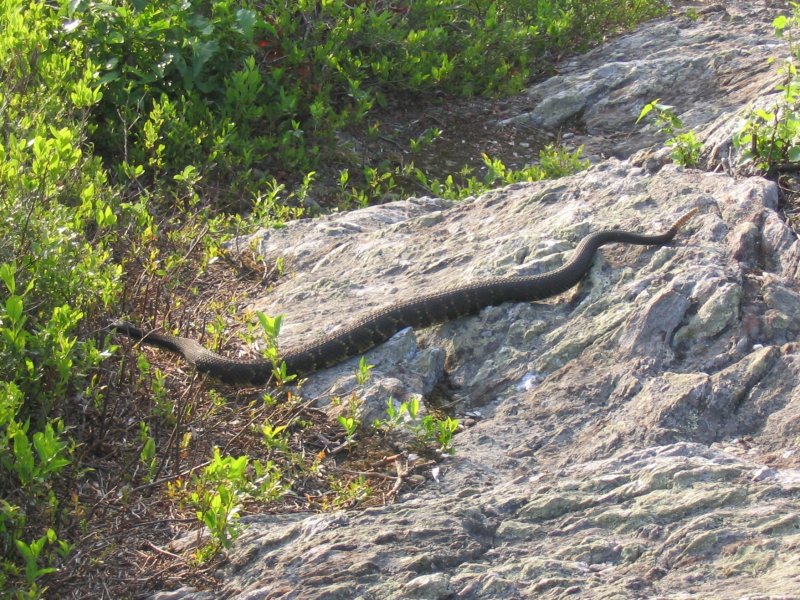
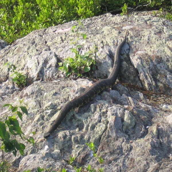
This Timber rattlesnake goes by the friendly-sounding scientific name
Crotalus horridus.
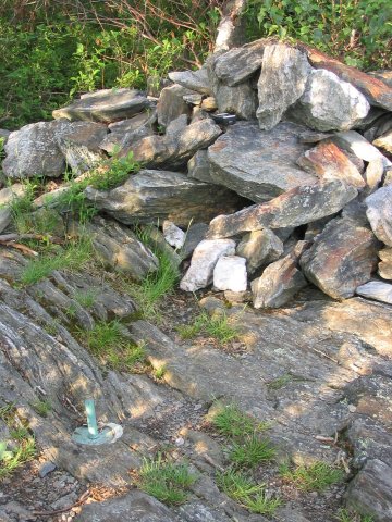
The 'Green Stake' that marks the highest point in Connecticut, next to a rock
cairn.
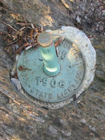
A closer look at the marker.
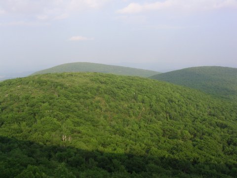
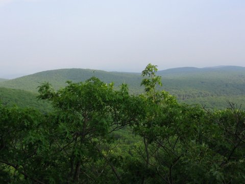
Views from near the highpoint.
References
Highpoint Adventures, Charlie and Diane
Winger, Colorado Mountain Club Press, 2002.
Highpoints of the United States, Don W.
Holmes, University of Utah Press, 2000.
http://americasroof.com/ct.shtml