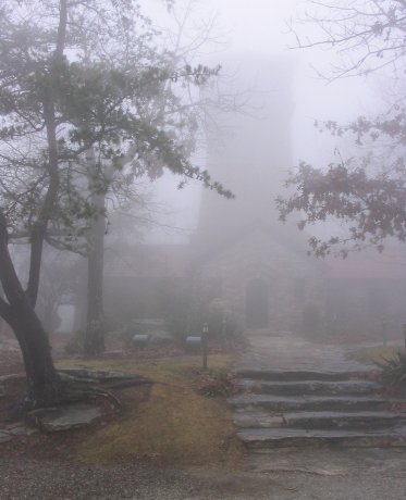
Observation tower at the summit.
Alabama Highpoint - Cheaha Mountain - 2407 ft
30 Nov 2004, around 11 am.
Highpoint #11.
Back to 2004 Southeast Highpoint Expedition
The weather forecast called for heavy rain later in the day, so I was fully dressed out in rain gear. It didn't do much more than drizzle, however, although fog enveloped everything so that there were no views to speak of. I walked up the Lake Trail, starting at Cheaha Lake at 1264 ft. This is a short (1 mile) but quite steep trail that tops out at the Cheaha State Park roads around the highpoint. Another mile or so of walking along the roads bring you to the observation tower at the summit. Near the top of the trail, which is well-marked with blue blazes, you pass some cliffy parts called the 'Rock Garden'. I recommend this route to highpointers, certainly over the drive-up option. You could also ride a bike from the lake to the highpoint (on the roads, not on the trail) and that might be nice as well. I saw nobody on the trail, but did see some vehicles and tents on the park roads and campgrounds. Distance of 4 miles round trip, elevation gain of 1143 ft.
Observation tower at the summit.
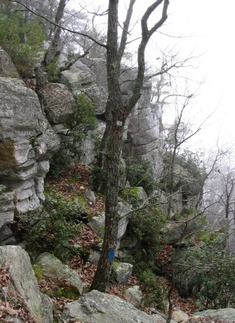
The actual highpoint, a boulder behind the tower that the tower is anchored to.
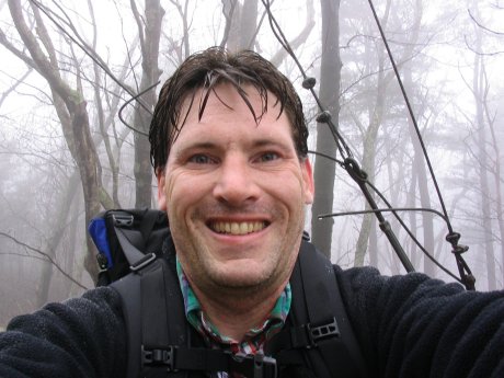
Me on the highpoint.
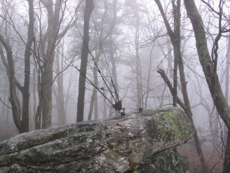
The Rock Garden. The trail heads steeply downhill at the bottom of the
picture.
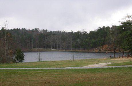
Cheaha Lake, the starting point for my walk.
References
http://americasroof.com/al.shtml
http://www.targotennisberg.org/highpoints/alabama/
http://cheahastpark.com/