Rocky Mountain National Park
Mount Saint Vrain
My first planned summit, for Monday, 11 October 2004, was Mount Saint Vrain, on the border between the Indian Peaks Wilderness and Rocky Mountain National Park. The weather was supposed to deteriorate during the day, so I wanted to get an early start. The trailhead was kind of hard to find, however, it was several miles down an obscure dirt road, so I didn't get started until 7:15 am. There were no other cars in the parking lot, and I didn't see anybody else at all until late in the day. The trail started at 8800 feet, and climbed gradually. There was not any snow at all at the bottom, but the last mile or so of the trail was all on pretty firm snow. It was easy going until the final summit ridge, about a 600 foot climb, which was a combination of rocks and deeper snow, and a lot more tiring. I was happy to finish that ridge and gain the summit! On the way back down, it threatened to start sleeting, but never got going. I had a nice drive back to Boulder, with a good endorphin buzz.


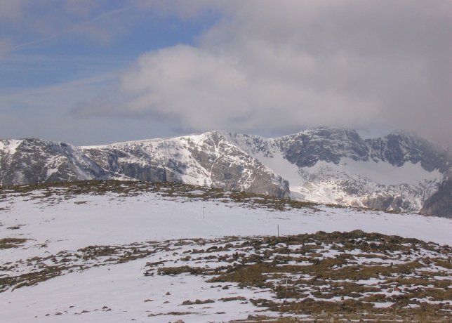
Views from the summit of Mount Saint Vrain, 12162 feet
Mount Lady Washington
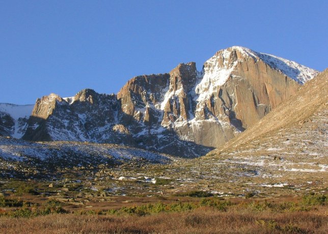
Mount Lady Washington is an unassuming looking 13281 foot peak in an incredibly dramatic setting. The summit is right next to the Diamond on Longs Peak, an awe-inspiring sheer 1500 foot wall of rock. From there you would have an incredible view of the Diamond. I wanted that to see that view, so Tuesday I set out for the summit. I got to the parking area around 6 am, and was only the second car in the lot. In the summer, the parking lot would probably be completely full by this time. There was a bare hint of twilight in the sky, otherwise stars and a lovely tiny crescent moon. I put on the headlamp, and headed up the trail. By the time I came above tree line, some nice early light was illuminating Longs Peak.

The Diamond of Longs Peak, 14255 feet, in some early morning light

Another view of the Diamond

Longs Peak on the left, Mount Lady Washington on the right

Mount Lady Washington. The climb from here is about 1500 feet up.

Another view of Longs Peak
After several miles, I left the trail at the Mills Moraine and headed up the 1500 foot high east face of Lady Washington. The slope is filled with lots of big boulders, with snow patches in between the rocks. At first, it was easy to walk around the big rocks, but soon I ended up climbing over a lot of them. It was hard to tell how deep the patches of snow were. I didn't have as much energy on this trip as I would like, I think one of my problems was my poor eating technique. I would eat a few handfuls of snacks, but not enough to keep my energy level high enough. This slope was pretty tiring, and as I climbed higher, it became steeper and even more tiring. Around 500 feet below the top, the slope got even steeper, and I was out of gas. I turned around, and scooted my way down the boulders and snow back to the trail, losing a water bottle along the way. Gerry Roach calls this a 'tedious slope', I would not disagree! The next time I try this peak, and I definitely want to see that view, I will hike the trail all the way up to the Boulder Field and make the shorter climb up from there. On the way back to the car, I passed a number of other hikers, who looked like they were sucking on some oxygen.

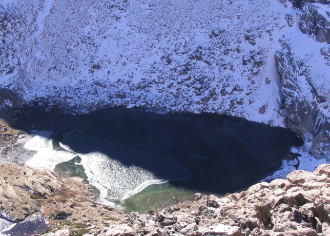
Looking down on Chasm Lake